A Southwest Airlines 737 MAX 8 purportedly came within 150 feet of the ground during its approach into Tampa Bay. But are we reading the altitude correctly or is this potentially a case of improper instrument settings and therefore an incorrect altitude reading?
Close Call? Southwest Airlines 737 Purportedly Drops To 150 Feet Above Ground Four Miles From Tampa Bay
I don’t usually write about “close calls” because they do not interest me as much as other aviation or travel issues and because, admittedly, some of the technical issues surrounding them are not clear to me. That’s the case here, so see this post as an attempt to understand these types of situations and this particular situation better.
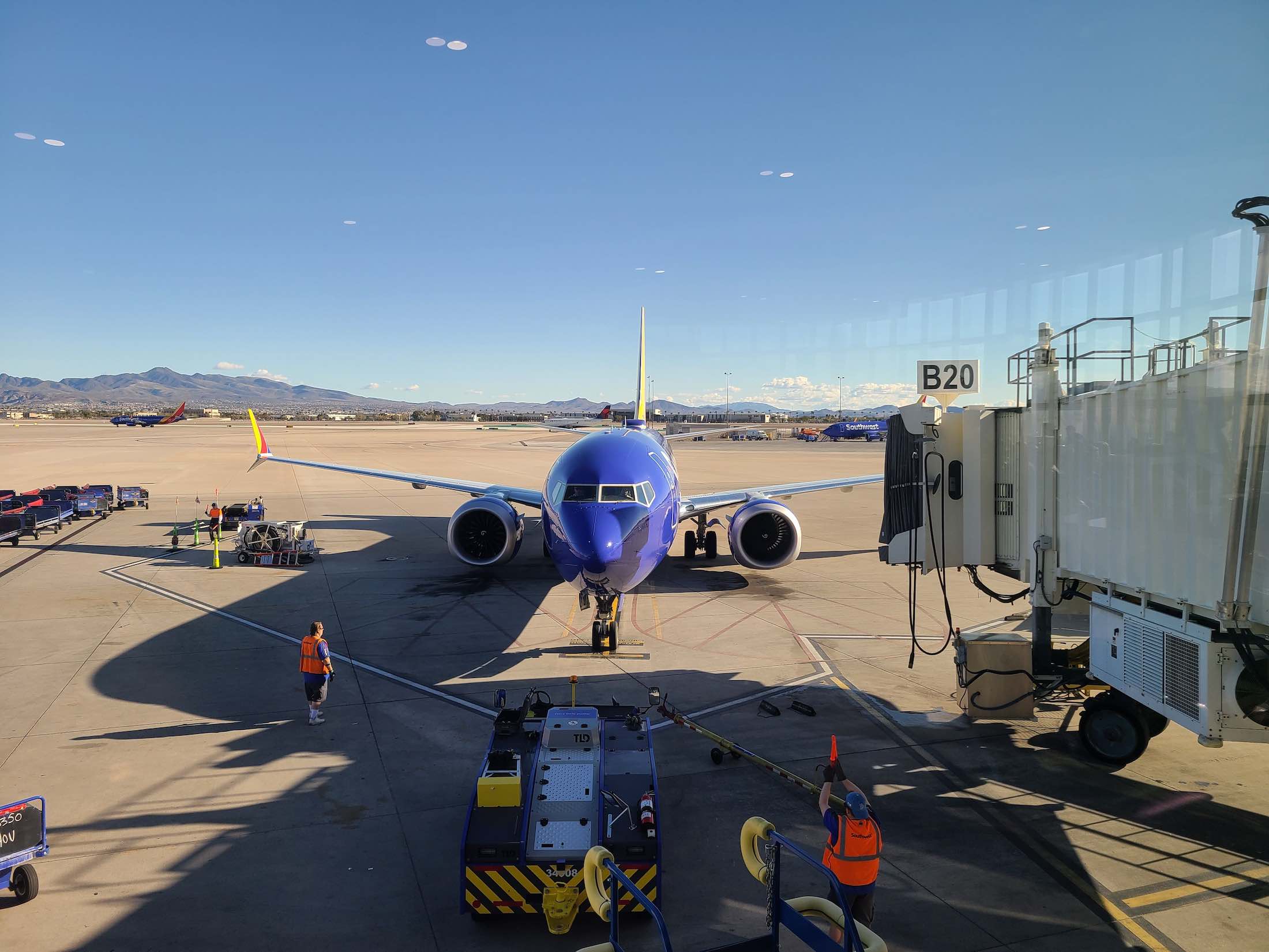
The incident occurred on Southwest Airlines flight 425 on Sunday, July 14, 2024, a flight from Columbus (CMH) to Tampa (TPA). The flight was operated by a Boeing 737 MAX 8 (registration code N8841L).
One Mile At A Time does a great job of laying out what happened as a Southwest 737 MAX 8 approached Tampa (TPA) airport in Florida. I won’t regurgitate it. A visual depiction posted on YouTube is also well done:
The 150-foot reading is based on ADS-B data. ADS-B stands for “Automatic Dependent Surveillance-Broadcast,” an aviation surveillance technology in which an aircraft’s position is determined via satellite navigation or other sensors (and the ADS-B-equipped aircraft periodically broadcasts its position and other related data, enabling it to be tracked). That broadcast shares the GPS-tracked position of the aircraft to the ground, where it is displayed to air traffic controllers.
But is that 150-foot measure correct? Put another way, were the pilots really that clueless or disoriented or are there some instrument issues at play that may have led to such a low altitude reading?
A key part of the exchange:
ATC: “Southwest 425, low altitude alert, check your altitude. Tampa’s altimeter is 30.14.
Pilot: “30.14, thank you, Southwest 425.”
The 150-foot altitude reading comes from FlightRadar24, which explains that its displayed altitudes are based on the standard atmosphere setting (29.92).
ADS-B only reports altitude values based on the standard pressure of 1013 hectopascals; this is why altitude values near the ground can sometimes appear unrealistic.
Take Denver for example, the “mile-high” airport that sits at 5,433 feet above sea level. Using ADS-B, the altitude reading can shift from 5,400 feet on final approach to 0 feet upon landing…all within seconds.
Pressure is measured in hectoPascals (hPa), also called millibars. Standard pressure at sea level is defined as 1013hPa, but we see large areas of either high or low pressure. Areas of high and low pressure are caused by ascending and descending air. The lower the pressure, “The fewer air molecules surround your airplane. In fact, decreasing atmospheric pressure by one inch of Mercury (inches Hg) increases your pressure and density altitudes by 1,000 feet. Your airplane performs like it’s 1,000 feet higher than the field elevation.”
Ok, so what does that mean? If I understand this correctly, if the actual setting was 30.14, it seems that about 250 feet should be added, so the plane’s lowest point was actually 400 feet.
Arguably, whether it was 400 feet or 150 feet doesn’t matter…both seem far too low…but there’s a big difference between 400 feet and 150 feet…
The truth is, it is not clear to me what happened. Would a radio altimeter (which “uses a pulse of radio frequency energy transmitted towards the earth to measure the absolute height above the terrain immediately underneath the aircraft”) have also indicated a flight level of 150 feet?
Can someone help me (and everyone) understand this rather technical issue in layman’s terms?
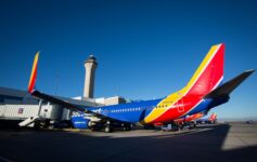
image: Southwest Airlines


Yes there is a big difference between 400 and 150 at that distance didn’t realize this possibility
Not only were they that low. They missed a condo building by 200 feet. This is the 4th incident they have had being too low. FAA needs to step in now.
The radar Alt. would give a warning depending where and if it was set. A visual outside the window would also show they were too low. A 4 mile final on a standard glide slope should indicate about 1400’ AGL. In this case about 1500’ on the barometric altimeter. Assuming they had an instrument approach dialed in ( freq in the case of ILS or proc active if it was a RNAV) there should have been plenty of warnings indicating they were too low. Seems this is a case of pilot flying not properly monitoring the approach.
Reach out to Kelsey a 747 Pilot that has a YouTube channel called 74 Gear he knows everything!
It is highly unlikely that they were anywhere near that low. Their Ground Proximity Warning System (GPWS) would have been alerting them and you would have been able to hear it in the background of their radio calls. Altitude data from FR24 is notoriously unreliable.
They were likely low on the approach (since ATC alerted them), but nothing like the numbers being thrown out here.
SW seems to be having an unusual number of close calls in the past few months,,,,time for an FAA review of training and operations???
@Nick: FR24 is not notoriously unreliable. It’s just that the direct data grabbed from each plane’s ADS-B uses pressure altitude (as if you set the altimeter to 29.92 or 1013).
I’m reluctant to even comment here but like the recent Southwest “Dutch roll incident” this is also much ado about absolutely nothing.
The approach for Runway 10 @ TPA is a non-precision, RNAV/GPS approach with minimums of 436’. The aircraft should be at that altitude over the bridge, as advertised, 1.5-2.0 miles from the field.
No idea why this is even a story. The technical aviation posts are consistently inaccurate and wildly dramatic in this “aviation blog.” I’d suggest sticking with the coffee shop reviews and flight crew bashing posts.
I took a far more measured approach to this story than others, who made alarmist claims.
So you’re saying everything as A-OK here?
Rarely does TPA use Runway 10/28 for jet aircraft unless the weather or winds are pretty extreme. The approaches for that runway are considered non-precision which has a higher minimum than a traditional ILS approach. Roughly 400’ AGL vs 200’.
According to the published approach plate, the aircraft was at the proper altitude in a position to land at the appropriate time. Yes it does get close to the bridge and buildings but all the TERPS clearances are still favorable to allow that approach to be used.
I cannot believe I even need to mention this but be careful what you copy/cut/paste from the aviation blogs out there. The other guys don’t have a clue about these sort of things either.
What do you think about this theory (from another airline pilot)?
(also, to be clear, I don’t cut and paste from any blog)
Check out Juan Brown’s YouTube channel for a facts only explanation. The Boeing Pilot has distorted the data. GPS altitude will vary daily from day to day, region to region, for a number of reasons (more than just barometric pressure changes). The tell-all is to note the GPS altitude at the various step down altitudes given by ATC prior to the final approach. Example: If ATC cleared the plane to 4000’ while vectoring to the final, and the ADS-B showed 4,400’, then you could apply that 400’ adjustment to the reported altitudes for the remainder of the flight.
It’ll be interesting to see what comes of this. Some things do not make sense and still makes me question the viability of the data being reported. I’m not saying an incident didn’t occur but I struggle to wrap my hands around the exact story that’s currently being tossed around.
150’ is extremely low, especially 4-5 miles out. Both the pilots and controller did not have any sense of urgency in their voice when discussing the low altitude warning. That’s extremely unusual to me considering the proximity to the ground and/or bridge. That is not normal human behavior for what is being reported, the complete lack of voice inflection. Also, there was no GPWS warnings blaring in the background during the radio transmissions. No “whoop, whoop PULL UP, PULL UP” or “TOO LOW, TERRAIN, etc.” At 150’, off path, in that location the airplane would be incessantly yelling at you.
Finally, I find it hard to fathom that not a single person, in a car, bridge, or boat happened to notice a Boeing 737 flying overhead at 150’ over the main thoroughfare to/from the beach and Clearwater on a Sunday. There must be hundreds of cars, thousands of people during that time frame with cameras in hand.
I live in the area and there was nothing in any sort of news cycle or social media when this occurred. A low flying passenger jet over the bay I would assume would gain some sort of attention, right?
This was definitely not OK. At that location, about 3-4 miles from the airport, the aircraft should have been at more than a thousand feet. Because the audio released so far only includes conversations with the Tower at Tampa, we don’t know specifically what type of approach the aircraft was cleared for (visual vs. instrument), but given that the weather was marginal at the time, it would not make sense that ATC would either offer or the pilots on a major carrier would accept a visual approach. Even if that were the case, one would expect the crew to be backing up their visual observations with an instrument procedure in the Flight Management System (FMS). The only instrument procedure published for Runway 10 is the RNAV (GPS) RW10, which would have an electronic glidepath. Simply monitoring that approach with their instruments and cockpit displays would have told them that they were well below the glidepath and miles from the runway threshold. Heck, if that approach was set up in the FMS, they would have been getting audible “Glideslope” warnings. They should also have been getting Ground Proximity Warning System (GPWS) warnings. The hell of it is that even when ATC issued the Low Altitude Alert, they did not immediately begin a maximum performance climb and did not report going around for another 50 seconds. This whole thing makes no sense to me as someone who has been a pilot for 40 years. Given the silence from Southwest, I am almost wondering if the REAL reason for the diversion to FLL (and subsequent return to TPA) was simply to ensure that the Cockpit Voice Recorder loop would have been written over.
TERRAIN! PULLUP! cockpit warning sound would have alerted them by that altitude I would assume.